
Find a Columbia Street
Start with a street segment and one numbered address, not a name-only sweep. Richland County's property tools connect that address to a parcel record, while its Interactive Map gives geographic context. Together they are a sound first step for a Columbia street directory search. They do not create a household roster. A returned owner name is an owner-of-record field, and a separate mailing field may be a correspondence address rather than the physical site.
- Search the Richland Property Card by address, tax map number, or owner. Save the exact situs spelling, tax map number, legal description or lot reference, and the card's displayed date.
- Open the Interactive Map and search the address as the County directs, such as 1000 Main without the street-type word. Use the map to orient the parcel, not as a title record.
- Use the tax map and legal description in the Register of Deeds search. Compare the current acquisition record with the parcel, rather than relying on street wording alone.
- For an older household question, consult the dated city-directory, telephone-directory, or map source closest to the period. These sources can be incomplete and do not prove every occupant.
- Keep registration research narrow and lawful. MySCVotes is an identity-gated self-check, not a public Columbia street browse.
That sequence keeps current tax data, recorded land evidence, and historical listings in their proper roles. It also makes a later no-result easier to interpret.
Search Columbia Street Property Cards
The Richland Property Card has three Basic Search keys: Tax Map #, Address, and Owner. Advanced Search adds tax district, neighborhood, acres, year built, heated area, bedrooms, bathrooms, transaction date, and transaction price. These fields narrow parcel results; they do not prove who occupies an address. The service limits a result set to 300 and an export to 100.
| Richland field or mode | Input | How to use it |
|---|---|---|
| Address | Text | Enter a street number and name, such as 1000 Main, without Street or Road in the GIS guide. |
| Parcel mode | Text after choosing Parcel | Use the County guide's 12345-67-89 format, then select Search. |
| Tax Map # | Text | A primary Property Card key and the ROD's recommended key when available. |
| Owner | Text | Search the owner-of-record spelling in the property system, not an assumed occupant name. |
A card can show owner, mailing address, situs, taxable value, tax map, property characteristics, and a map link. Preserve the labels. Neither owner nor situs alone confirms a current resident.
Map Columbia Street Parcels First
Richland's published Interactive Map instructions use an address or parcel number, with a Globe control, Address and Parcel modes, and a Search button. The guide does not document an owner-name map search, radius tool, or automatic adjacent-parcel list. Use the Property Card for names and fields, and the map for parcel shape and place. City neighborhood maps are informational, not legal descriptions.
For a corridor, record the same small set for every known property: situs, tax map, subdivision or lot reference, legal description, current owner of record, and map context. Do not assume street-number order follows parcel ownership, city limits, or county jurisdiction. Columbia municipal limits extend into Lexington County, so a Columbia postal label does not by itself establish a Richland County record jurisdiction.
- Parcel
- A mapped unit of land tracked by the county, usually identified by a tax-map number.
- Situs address
- The physical street location used to orient a parcel, inspection, or map search.
- Plat
- A recorded map or plan that can define a lot, subdivision, or boundary reference.
- Criss-cross directory
- An address-arranged directory format. No specific Richland reverse or criss-cross run was verified here, so inspect a title page before relying on one.
Note: A map supplies location context, while the recorded instrument and legal description supply different evidence about land.
Follow Columbia Street Deeds
The Richland County Register of Deeds subscription service searches by tax map, instrument book and page, name or firm, address, and legal description. Tax map is recommended, yet the County warns that neither an address nor a tax-map number appears on every recorded instrument. A street no-hit is therefore not evidence that no related deed exists.
Begin with the current parcel and its legal description. Find the most recent acquisition instrument, then capture the grantor, grantee, recording date, book and page or instrument number, plat reference, and derivation clause. Search the seller as a grantee to locate that person's acquisition. Match the legal description and derivation reference before stepping backward. A recorded party may be an owner, trust, estate, business, or other transaction participant, not a documented resident.
The current SMS guide states that the online index begins January 10, 1984 and viewable images begin February 19, 1998. Oversized plats from Record Book 1405 forward are viewable online. Earlier and full-record work remains available through the ROD counter or copy process at 1701 Main Street, Room 101. This 1984 and 1998 split matters when an index result does not include an online image.
Columbia Street Directory Coverage
Each address-keyed source answers a narrower question than the phrase “who lives here” suggests. Use this Columbia street directory coverage to choose the record that matches the question and date.
| Address record | Custodian | What it can establish | Access limit |
|---|---|---|---|
| Property tax record | Richland County | Owner of record, tax map, assessment fields, situs and displayed mailing field | Search by tax map, address, or owner; owner is not a household list. |
| Parcel map | Richland County and City GIS | Parcel location, shape, map context, and neighborhood orientation | Informational mapping, not legal title or occupancy proof. |
| Deed, mortgage, plat, or lien | Richland ROD | Recorded parties, date, book or instrument trail, and legal description | Paid SMS access and counter/copy fallback; address can be absent. |
| Permit or inspection record | City or County custodian | Released project, application, inspection, or work-date context | Portal fields vary; a permit party is not proof of residence. |
| Historical directory, phone book, or Sanborn | Library, university, or archive collection | Dated listing or building and street context | Era-specific and incomplete; it cannot list every household. |
The street name makes these sources easy to compare, but the tax map and legal description keep the comparison tied to the same land. For a one-person question rather than an address trail, use the narrower evidence standards on the Columbia resident lookup page.
Trace Columbia's Historic Streets
Columbia's historical grid is a practical address tool. The capital plan of 1786 used a two-mile grid of 400 blocks. In the 1905 Walsh's Columbia Directory, the Street and Avenue Department described alphabetical street listings, 100 numbers per block, and an even and odd side convention. Treat that as a dated directory convention, not a present-day rule. It can help test a number against its cross streets before attaching it to a modern parcel.
Street names also need period-specific searching. Local references identify Walnut for Blanding, Lumber for Calhoun, Upper for Elmwood, Medium for College, Green for Greene, and Divine for Devine. Compare both spellings, cross streets, a Sanborn sheet, legal description, and plat. No complete official Columbia renaming or renumbering chronology was located, so a mismatch should remain unresolved until records line up.
Note: A vanished house number can reflect subdivision, demolition, address evolution, or a different list format rather than a missing person.
Columbia's 1905 Street Department
USC's digitized 1905 directory has a Street and Avenue Department for street-oriented historical browsing. Preserve the printed spelling and volume date. Pair it with a period Sanborn map and parcel evidence before connecting an entry to a present-day address.
Walker Local and Family History Center holds Columbia telephone directories for 1931, 1934, 1935, 1937, 1942, and 1951, with digitized 1935, 1942, and 1954 examples. They are subscription-era listings, not a complete count. The Columbia city directory collections page addresses the collection trail; use the street directory here only to test an address through time.
A Sanborn map can show a building footprint, use, street context, and lot environment. It cannot identify every person at the address. USC's Columbia editions include 1884, 1888, 1893, 1898, 1904, 1910, 1919, and 1923, which makes selecting the closest date important.
Columbia Street Permit Records
Address-specific permit and code material can add a physical-change date to a street history. City Development and Inspections routes applications, payment, status, and inspections through its Access Portal, email, and counter channels. The research did not verify an open code-case search. Request a focused record by address, time period, and event when no public result is available, and capture live portal fields before describing them.
Columbia announced a new cloud registration platform on May 29, 2026, with online application, payment, status history, and code-case notifications. Treat that current regulatory route separately from older Access or EnerGov pathways. A released application, contractor, or inspection entry documents a project-related role or date, not every person who lived at the site.
Columbia Street Privacy Limits
Public records retain important boundaries. MySCVotes requires a person's county, name, date of birth, last four Social Security digits, and CAPTCHA for self-service access, so it is not an unrestricted street search. The State permits lawful inspection and controlled voter-list processes under its rules, but the research did not verify a public street-browse control. A voter result also would not identify every household member.
Use records carefully. Address and parcel information are for lawful, personal research. Do not use a street search to stalk, harass, intimidate, or harm anyone, and respect protected-address and redaction limits.
The South Carolina Address Confidentiality Program provides qualifying survivors a substitute mailing address. The Judicial and Law Enforcement Personal Privacy Protection Act can also remove covered address and tax-map information from public websites. Absence is not proof of an error.
Know a Columbia Street's Limits
A Columbia street directory can assemble a careful property and historical record trail, but it cannot establish every current household. A tax mailing address can belong to a nonresident owner, trustee, company, personal representative, or protected participant. A deed records a land transaction. A map provides orientation. A dated directory lists only its own edition's coverage. Keeping those distinctions visible makes the results more useful and less likely to misidentify someone.
For early work, the online systems are only one layer. The February 1865 courthouse fire destroyed most county records, though equity and probate had been removed to safety. SCDAH documents surviving conveyance, plat, tax, probate, and magistrate series. Its guide says 1921 Columbia city-block plats are restricted because of their physical condition.
Columbia Deed Search Access
The County's ROD subscription information documents the paid search route and its criteria. It is a useful reminder to record a known book, page, tax map, or party name before asking the counter for an older instrument.
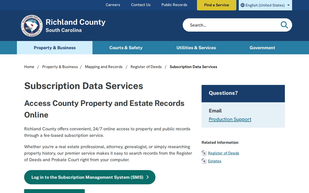
The screen reflects an access channel for recorded-document research, not a complete list of people associated with a Columbia street. The County offers daily, weekly, monthly, and annual SMS plans. When an online image is unavailable, the counter and copy process remain the documented fallback, and ROD staff ask researchers to bring a useful key rather than a general request to identify past residents.
Columbia ROD Subscriber Gateway
The Richland SMS gateway is the County's subscriber entry point for ROD and Probate search services. Use it with the dated coverage limits and alternate keys described above.
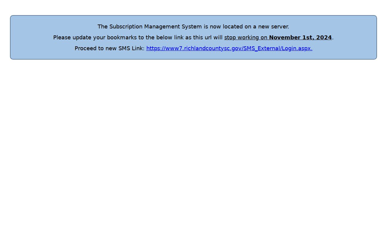
Subscriber access does not remove the need to compare parcel identifiers and legal descriptions. It also does not turn a recorded party into proof of current residence. Keep the search date with each recorded result.