
Columbia Neighbors by Block Source
Public records answer different block questions. Richland map and property tools can connect a known address to a parcel, tax-map number, and owner-of-record field. The Register of Deeds can add recorded transfers for a specific adjacent parcel. City civic resources identify neighborhood organizations and their public contact routes. Historical directories and maps can provide a dated view of a street, not a current roster. The key limit is simple: an owner, a deed party, and an occupant are not interchangeable labels.
| Source | What It Shows About a Block | Access |
|---|---|---|
| Richland GIS and property search | Parcel boundaries, address or tax-map context, and owner-of-record fields | Address or parcel map search, then property result |
| Richland ROD | Recorded transfers and encumbrances for an identified adjacent parcel | SMS subscription or ROD counter |
| Voter records | Lawful confirmation for a specific voter record and district context | MySCVotes, county inspection, or controlled list route |
| CCN and City Council districts | Neighborhood or civic association identity and public contact route | City pages and association contact channels |
| Historic directories and maps | Year-specific street and building context | Walker, USC, and Library of Congress sources |
Use the table to choose an evidence path rather than treating any single entry as a neighborhood list. A condominium regime, trust, business, public entity, or vacant lot may appear on the map. A property mailing address may be elsewhere, and neither utilities nor deliveries supply a public block dataset.
Map Columbia Neighbors Parcel by Parcel
Richland County's published GIS guidance documents an address search and a Parcel mode. Enter an address in the guide's form, such as “1000 Main” without a street-type word, or use a known parcel identifier in the documented format. Then inspect the visible parcel lines around the target. The official guide does not document an automatic list, buffer tool, radius result, or public owner-name map search. The dependable method is manual and parcel specific.
Richland DataViewer provides the public map context for starting with an address or tax-map search.
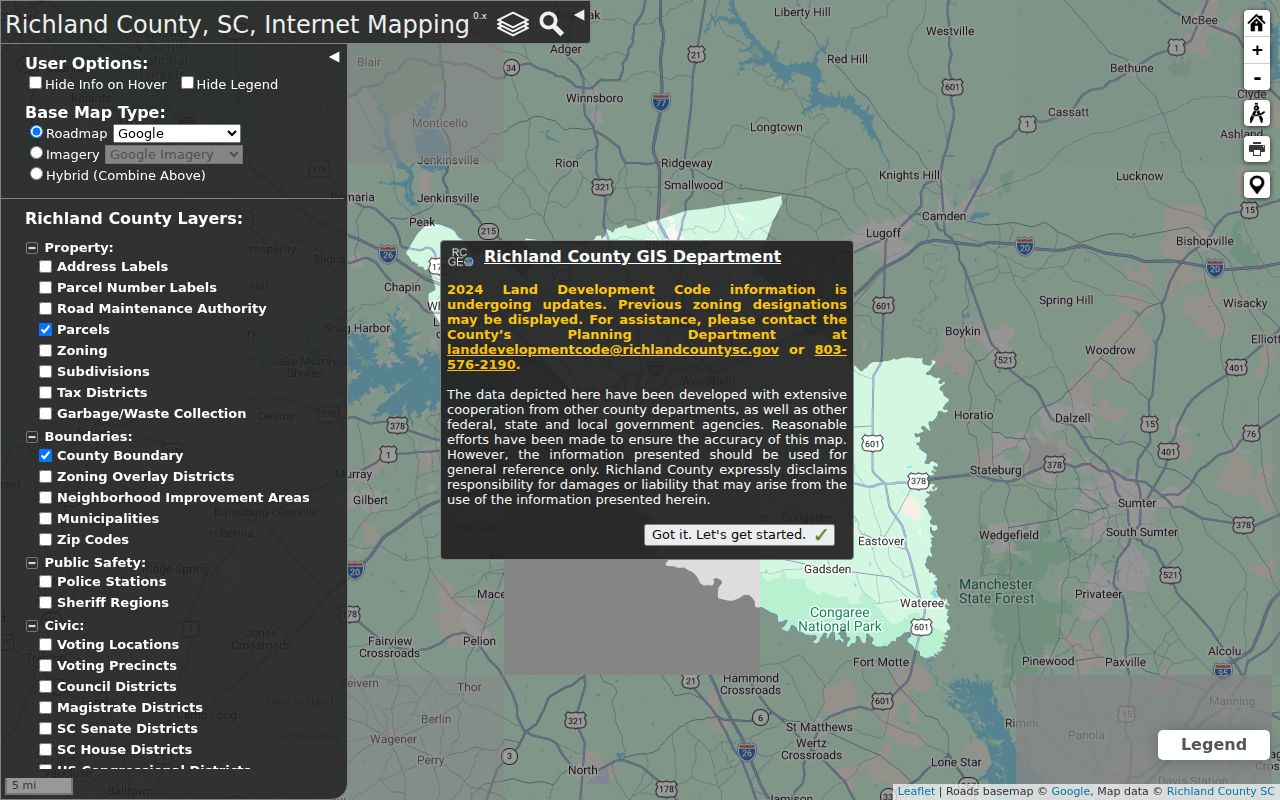
Use the map to note contiguous parcels and their tax-map identifiers. Open each known surrounding parcel independently in the property search to read its owner-of-record field and source date. This preserves the difference between adjacent geography and a claim about who occupies a home.
Richland's Property Card offers basic searches by Tax Map #, Address, or Owner. Its advanced fields include tax district, neighborhood, acreage, year built, heated area, bedrooms, bathrooms, transaction date, and transaction price. Those fields describe a tax and assessment record. Save the displayed field label and as-of date, and do not recast a property characteristic as evidence that a particular person occupies the site.
- Locate the starting Columbia address or known tax-map number in the county map.
- Confirm the target parcel outline and record its tax-map number.
- Visually identify parcels that share a boundary or sit across the street, then record each separate identifier.
- Search each identifier in the property card and keep the owner-of-record label with its display date.
- Use a recorded deed only when a specific parcel's boundary or transfer needs closer testing.
A parcel across a road or behind a shared boundary may have a distinct legal description and tax-map number. Record each one separately before comparing any owner field.
Columbia Neighbors: Owner Is Not Occupant
Richland's property card can display owner, mailing address, situs address, taxable value, tax map, and property characteristics. The situs is the physical property location. A mailing address is the tax correspondence field, and it can differ for legitimate reasons. A named owner can also be a trust, personal representative, organization, or nonresident. Use the record only for what its labels state.
The ROD adds recorded party roles, dates, legal descriptions, and plat references. It does not turn a grantor or grantee into a confirmed resident. For a whole named street rather than the immediate block, the Columbia street directory follows the address-record chain in greater detail.
When a boundary-side change is relevant, test the neighboring parcels through the ROD by tax map, legal description, party name, address, or book and page. The County recommends the tax map but says it is not present on every instrument. A derivation clause, matching legal description, and plat reference are stronger evidence that two records concern the same parcel than a similar street number. The paid online index begins in 1984 and online images begin in 1998, so older work can require the counter or copy process.
- Parcel
- A mapped unit of land identified by a tax-map number.
- Situs
- The physical street location used to orient the parcel.
- Owner of record
- The owner field on the tax record, not a declaration of every occupant.
- Legal description
- The recorded land identity, often tied to a lot, plat, or metes-and-bounds description.
Columbia Neighborhood Names on the Map
The City GIS neighborhood and subdivision layer uses NAME as its display field. It can help place a block inside a named area. The layer is based on parcel lines maintained by City GIS staff, and it is informational rather than a legal description. A neighborhood label can orient a conversation, but it does not establish title, association membership, or a household roster.
The City Council district inventory and the Columbia Council of Neighborhoods, known as CCN, are better routes for public civic contacts. The City inventory includes names such as Shandon Neighborhood Council, Historic Waverly Neighborhood Association, Central Rosewood Neighborhood Association, Melrose Heights Neighborhood Association, Cottontown/Bellevue Historic District, and Elmwood Park Neighborhood. Those names identify community groups, not a list of residents at individual addresses.
Columbia Neighbors Through Civic Contacts
CCN says it represents more than 100 neighborhoods. Neighborhoods recertify annually, may send representatives to monthly third-Thursday meetings, and have no CCN membership fee. It does not say that it publishes a member or household directory. Use the public route to ask about a meeting, association boundary, or contact process, and expect private membership records to remain subject to the group's own rules.
Columbia Council of Neighborhoods is the City source for the citywide civic framework.
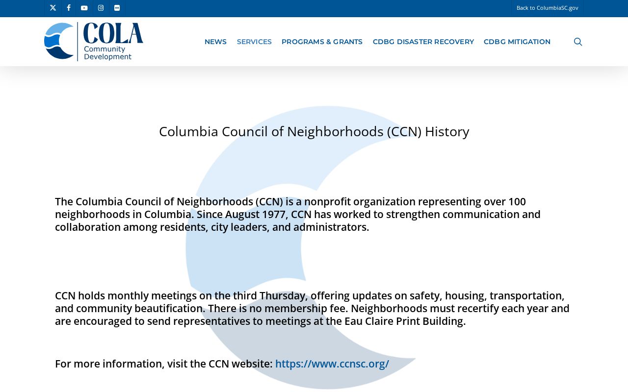
The official page supports a community-contact path, not a public resident list. The City Council district inventory can supply additional association names and contacts when a particular block falls within a district.
| Public contact resource | What it provides |
|---|---|
| Columbia Council of Neighborhoods | Citywide civic framework for more than 100 neighborhoods; public meeting and contact route, not a roster. |
| City Council district inventory | Association and civic-group names organized through City Council district pages. |
| Richland County Neighborhood Council | Information-exchange and advisory body, not a complete directory of members. |
Columbia Neighbors and Voter Records
South Carolina registration records are public for inspection under S.C. Code §7-5-410, subject to statutory limits and protected-address handling. That does not make MySCVotes a block-browsing tool. The self-check asks for county, first name, last name, date of birth, the last four digits of a Social Security number, and a CAPTCHA. It is a verified person's access path, not a public route to browse a street.
State voter-list products use controlled eligibility and criteria. They can be filtered by such categories as county, district, household, registration date, and participation, but the research did not verify a public street-browse control. A voter record can corroborate a lawful, specific record question. It cannot safely enumerate an entire household or prove permanent residency.
For a local election question, the Richland County Board of Voter Registration and Elections is the direct county contact. Its office is at 300 Columbia Mall Boulevard, Suite 210, Columbia, and its phone is 803-576-2240. That route can clarify a lawful records or district question without claiming that a MySCVotes search produces a browseable block list.
Note: A no-match can reflect a jurisdiction mismatch, protected record, inactive status, or input problem, not proof that a person is absent from Columbia.
Columbia Block Sources Compared
Official sources disclose the source and limit of a field. Commercial lookup categories can combine old addresses and other data, but their labels, update timing, and origin may be unclear. For a parcel question, use the County record that states whether a field is owner, mailing address, situs, map context, or recorded party. For a civic question, use the association's public contact route.
| Source category | Useful for | Key limit |
|---|---|---|
| Official parcel, ROD, and civic sources | Checking a named parcel, recorded instrument, or public association route | Each field has a narrow purpose and may not describe occupancy |
| Commercial lookup category | General leads that require independent checking | Accuracy, source, and update timing can be unclear |
Columbia Historical Block Snapshots
For a past block snapshot, use a dated directory or telephone issue with a historical map. The 1919 Columbia Sanborn set has 77 sheets and can show building footprint and street setting, not personal occupancy. Columbia's historic grid and street-name variants make cross streets, plats, and dated spellings more useful than forcing an old entry into a modern map label.
The County records research did not verify a complete local reverse-directory run. Inspect a specific title page or street section before calling a historical volume a reverse or address directory. That small check prevents a subscriber list or general city directory from being treated as a block-by-block roster.
Respectful Columbia Block Research
Public map and property data do not erase privacy boundaries. South Carolina's Address Confidentiality Program offers a substitute mailing address for qualifying participants, and other statutes can limit public display of sensitive information. Keep research focused on the stated record purpose, minimize what you repeat, and ask the source custodian about an apparent error rather than redistributing it.
Lawful use. Columbia block research can support civic curiosity, reconnecting, and safety awareness. Do not use records to watch, harass, intimidate, or harm anyone.